
Know what's happening around the people and places you care about.
Live radar, air quality, alerts and the nearest ER for home, work and family. One glance, every morning.
Dayabout watches your places all day and puts what matters where you'll see it: a widget on your Home Screen, a briefing in the morning, an alert when something changes, and one map with every live layer. Want the full story on an address? It's a tap away.

Your Home Screen, before you open anything
Two widgets come with the free app. Daily Outlook shows today's verdict, the hourly forecast, alerts and the nearest ER. Emergency lists verified emergency rooms and open shelters; call or get directions in one tap.
-
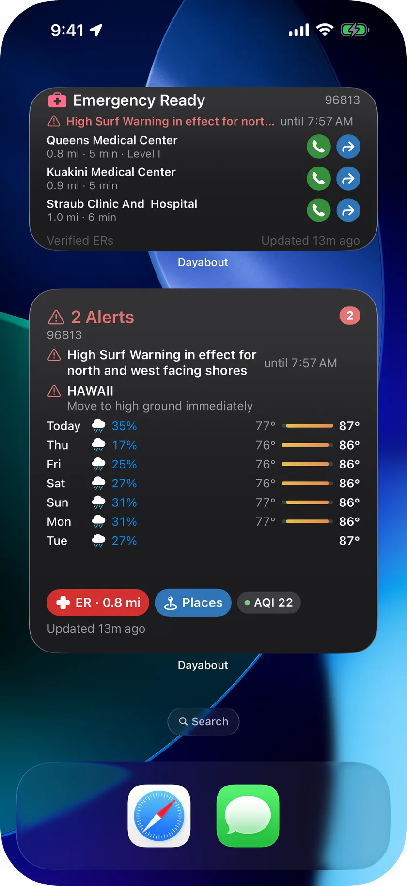
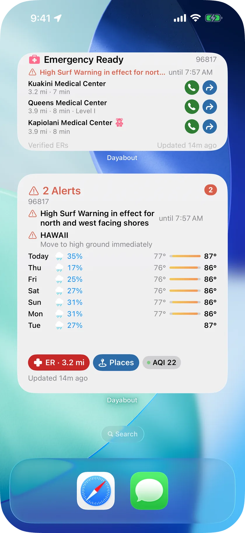
Your Home Screen: today's outlook and the nearest ER, before you open anything -
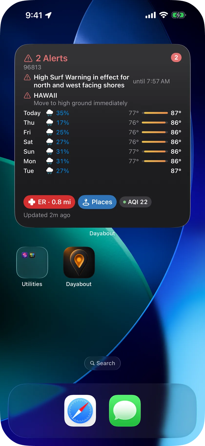
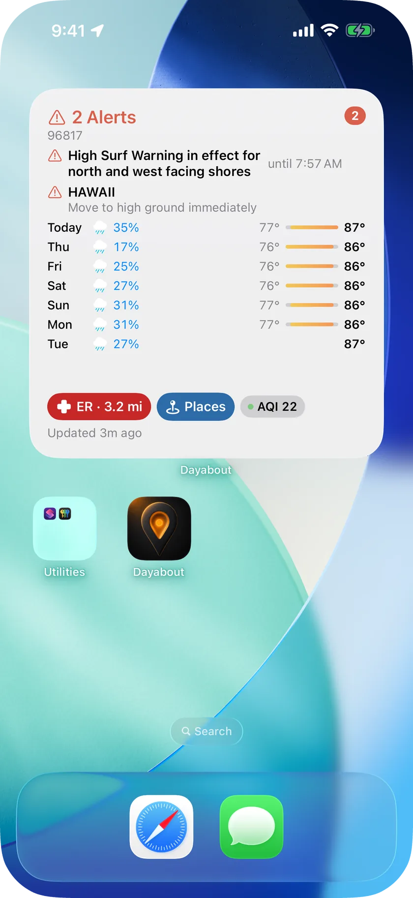
Daily Outlook, large: the whole day, your alerts, your places -
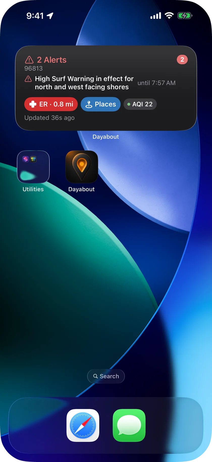
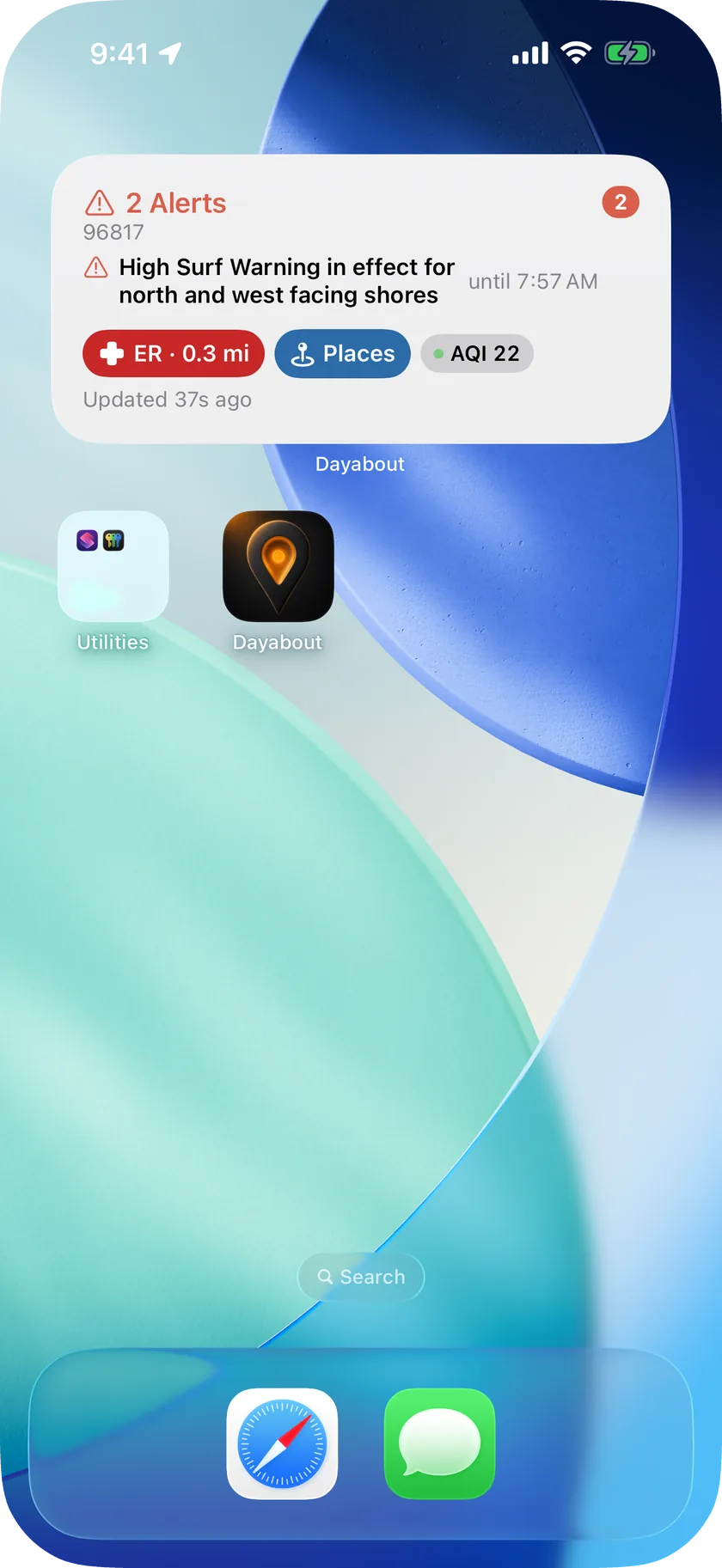
Today's verdict, forecast and the nearest ER, on your Home Screen -
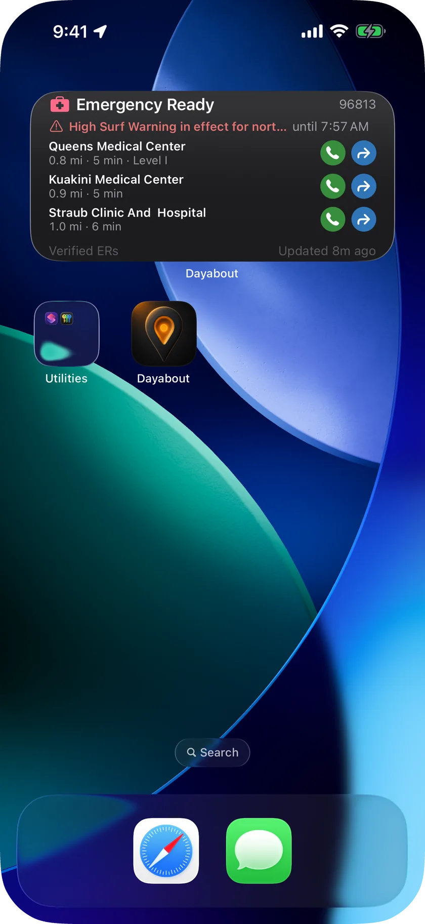
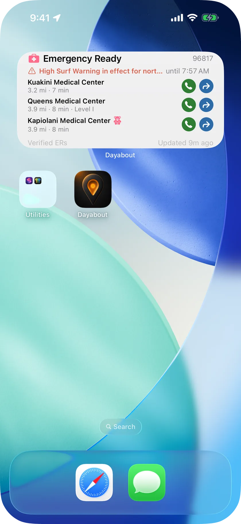
Emergency: verified ERs and shelters, one tap to call or go
Dayabout in use
Real screens from the app, in the appearance you choose above.
-
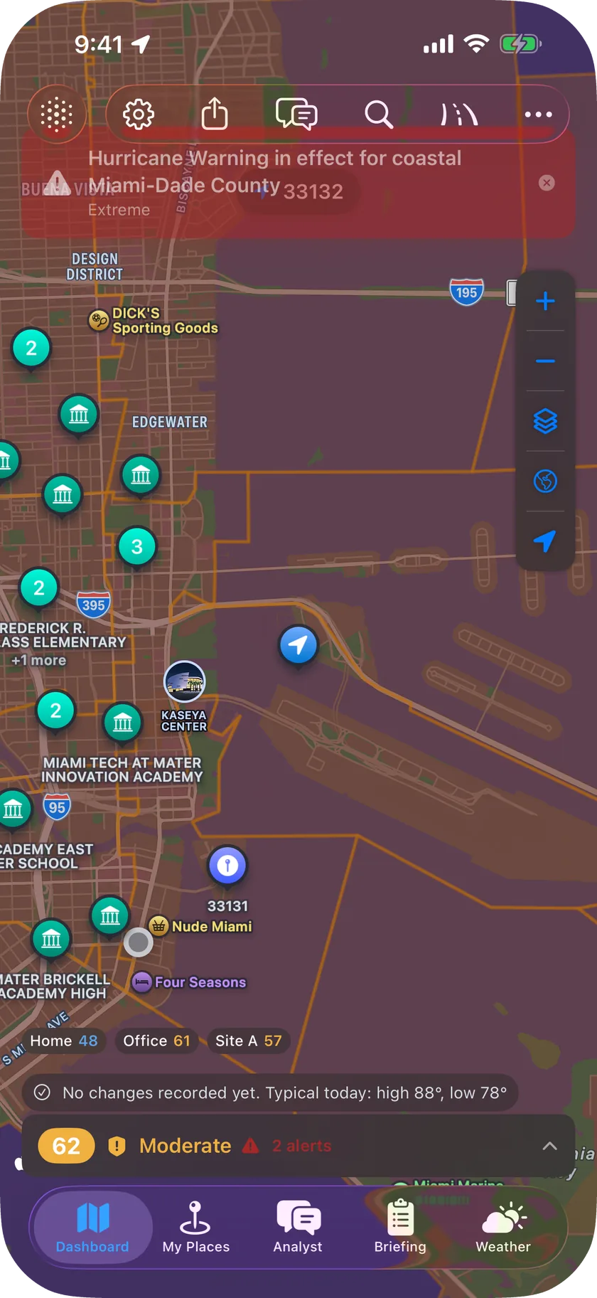
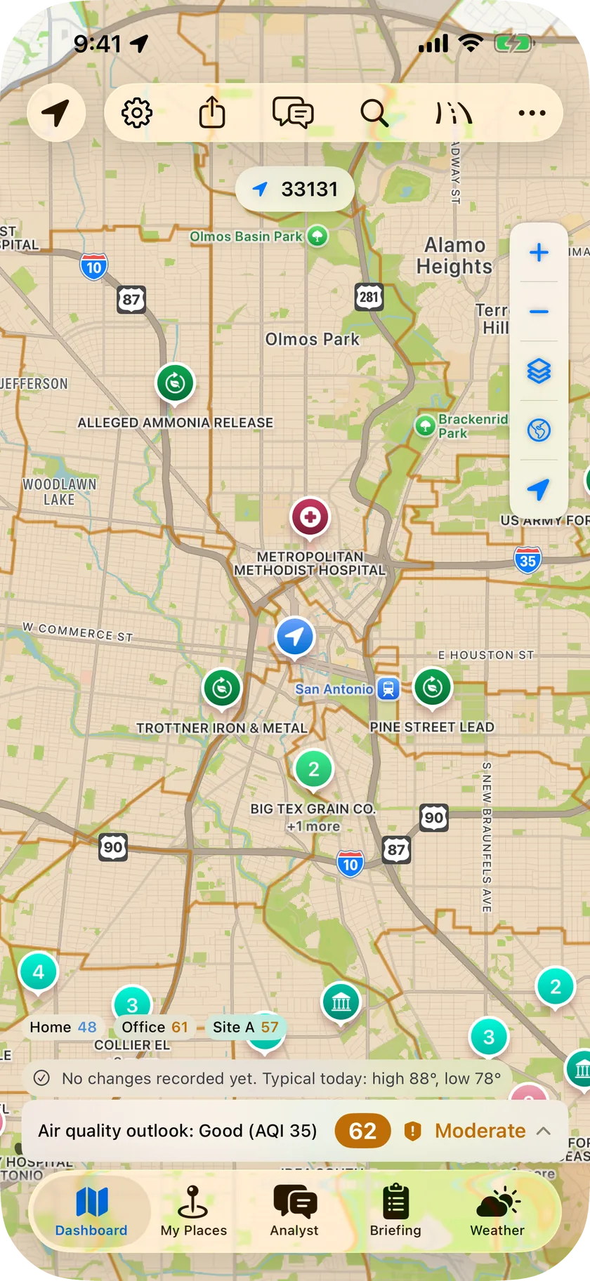
Every hazard around you, on one live map -
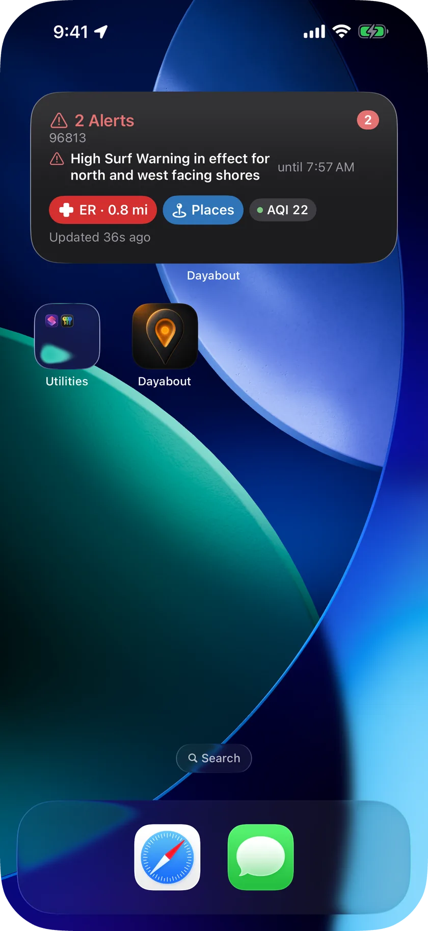
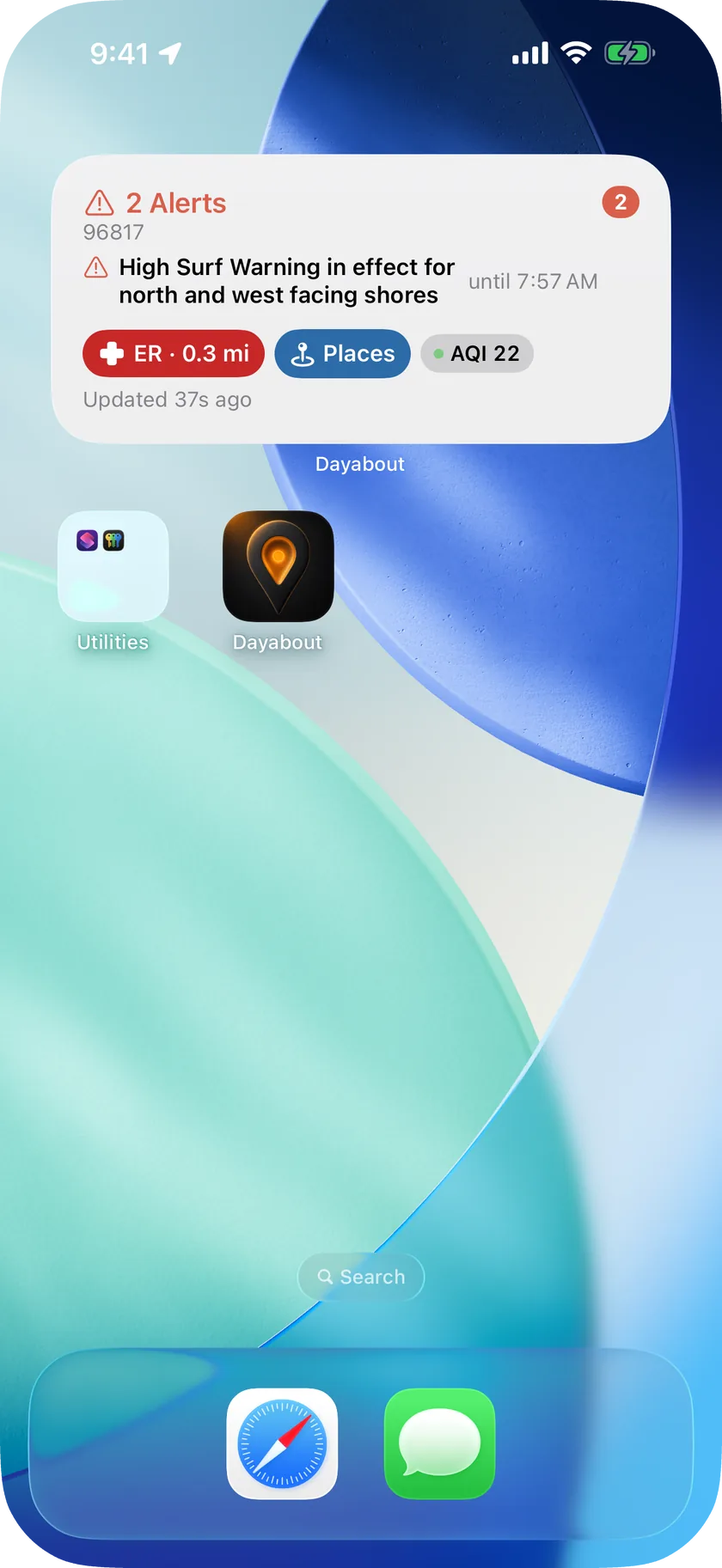
Today's verdict, forecast and the nearest ER, on your Home Screen -
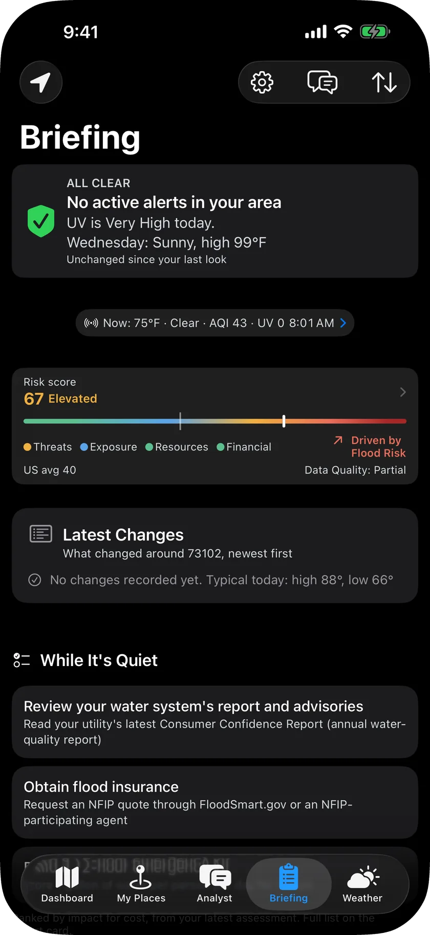
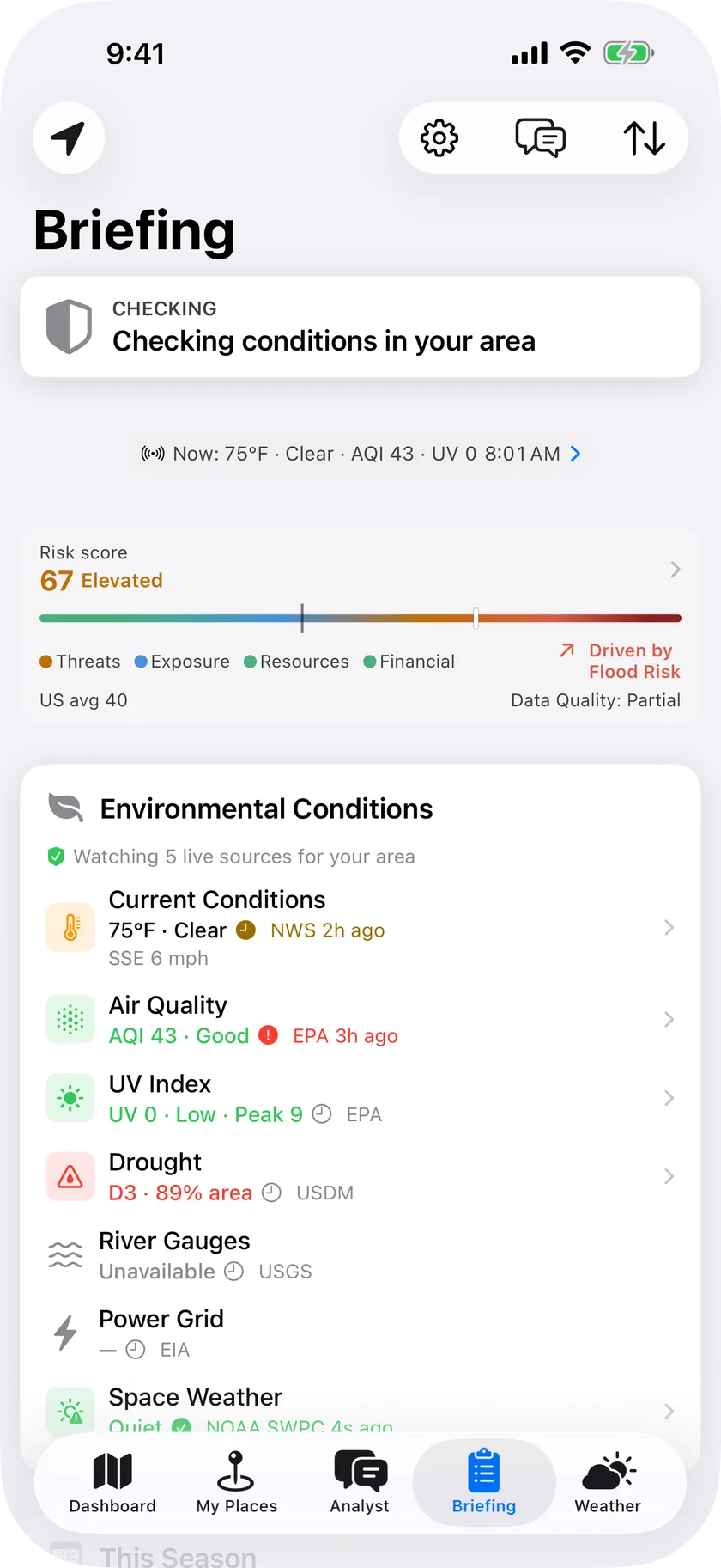
Your morning briefing: outlook, alerts, what changed -
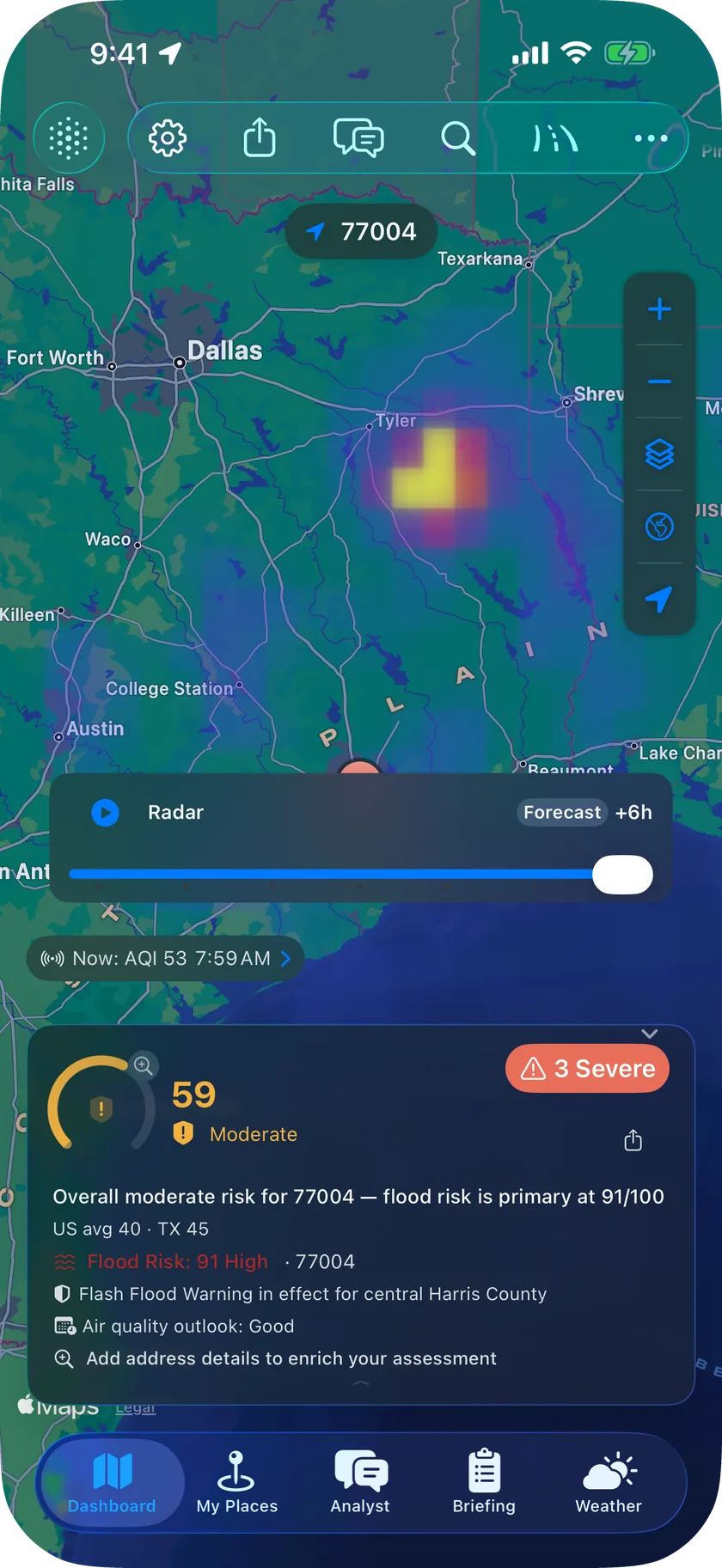
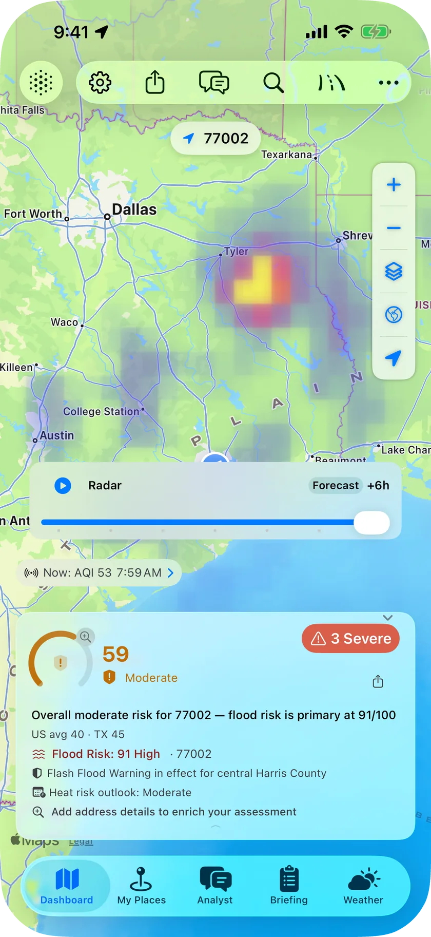
Will it rain? Scrub ahead and see -
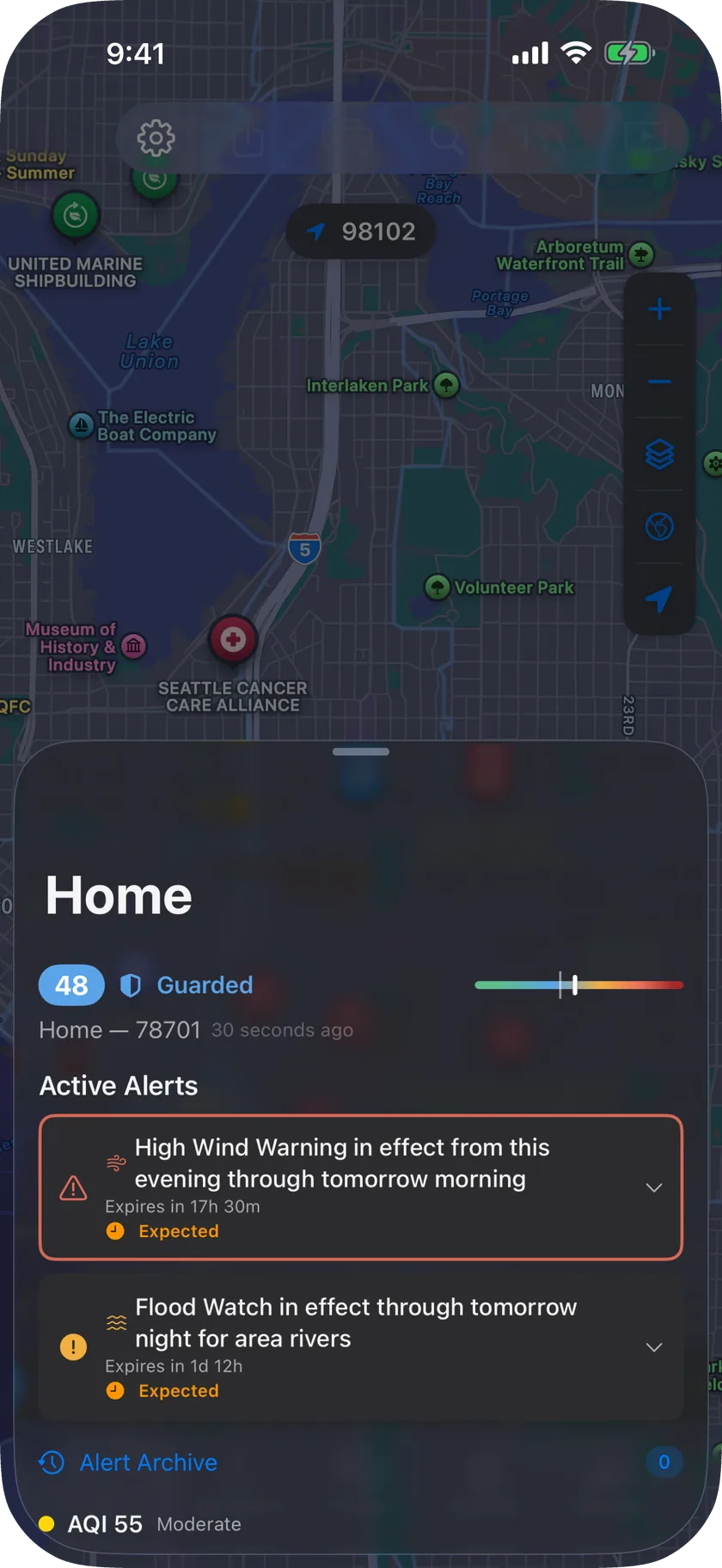
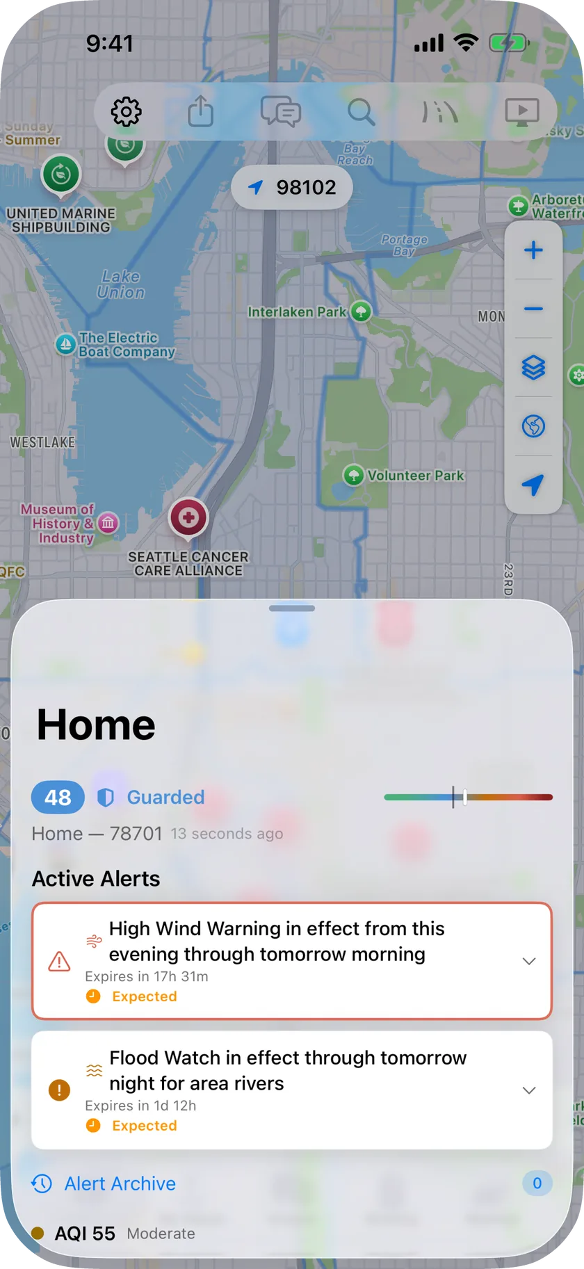
Home, work, family: every place watched, side by side -
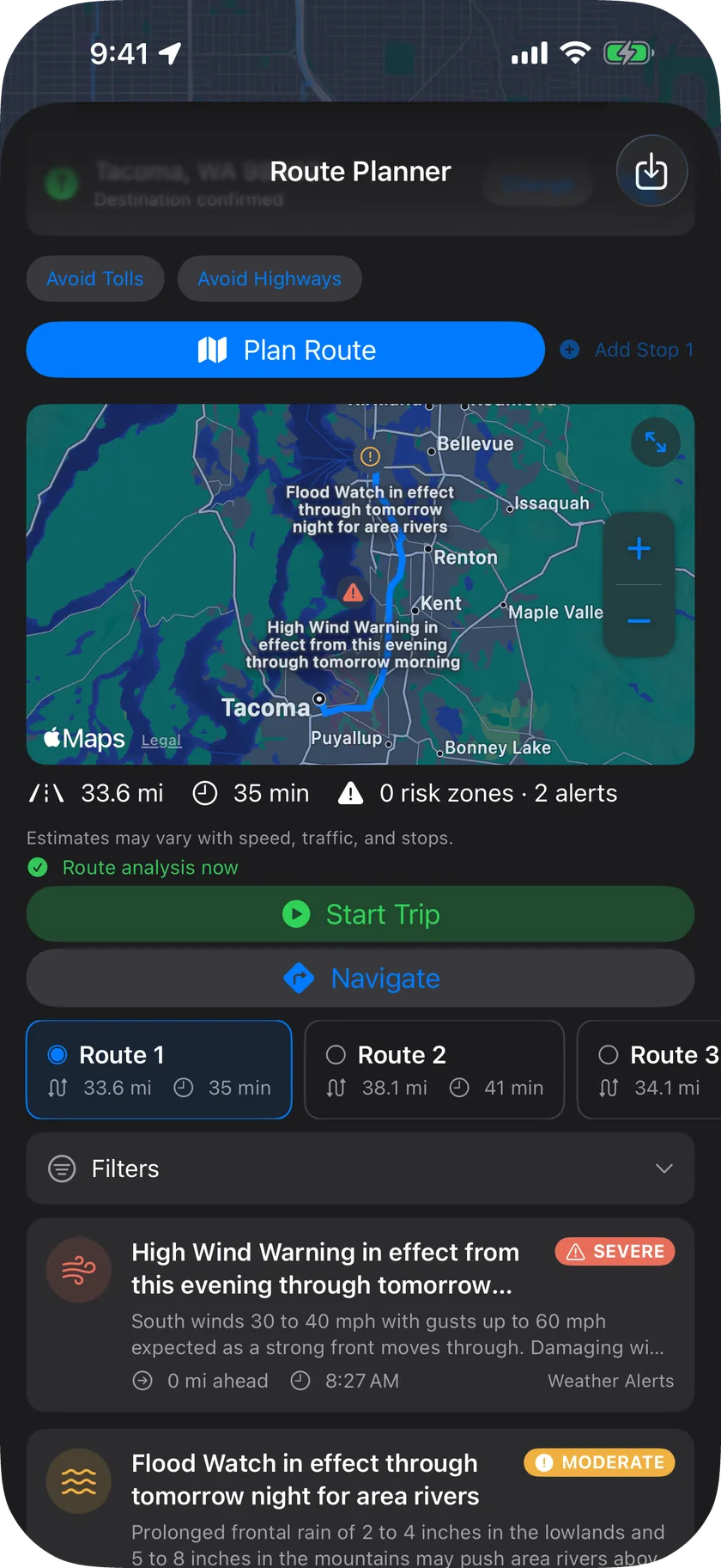
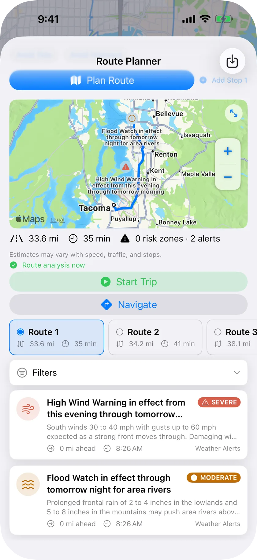
Which way today? Compare the hazards -
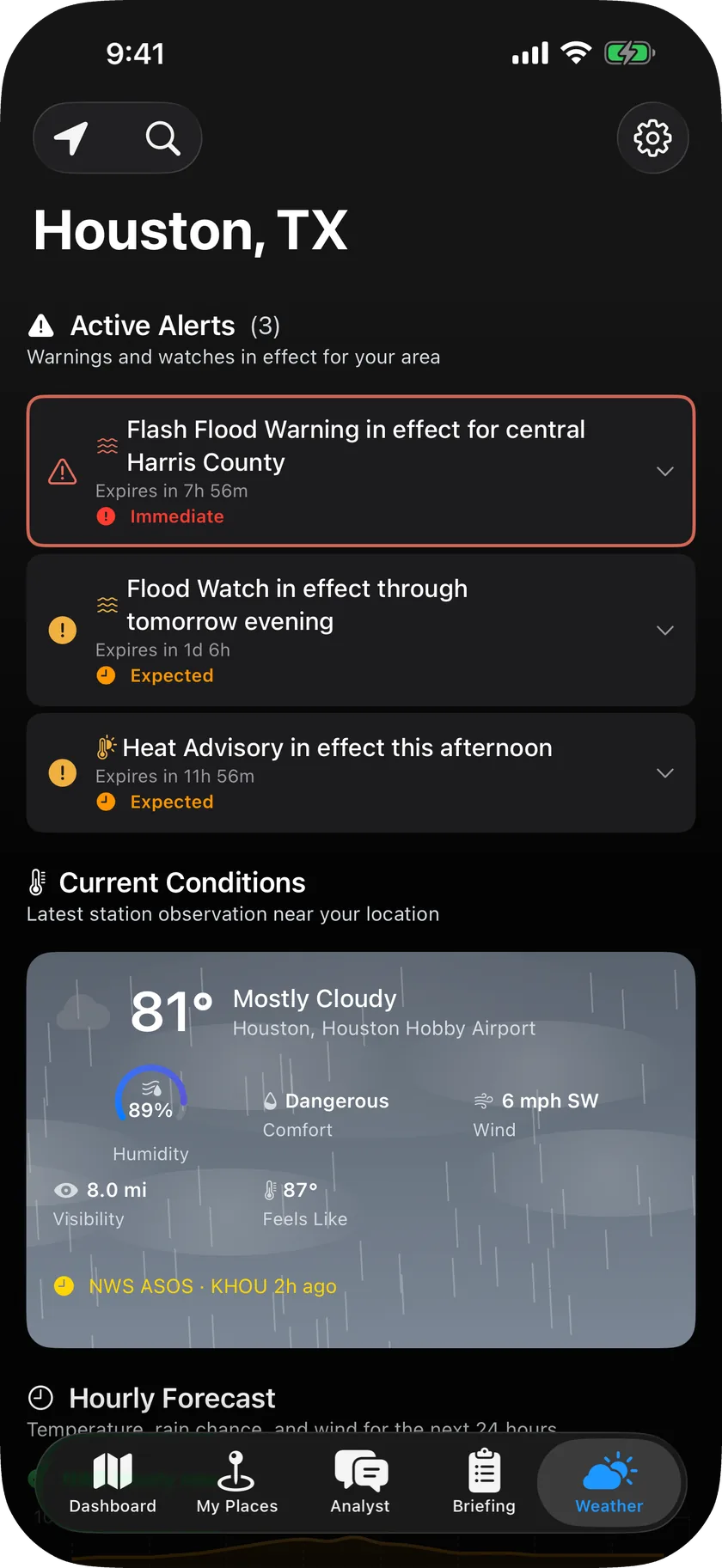
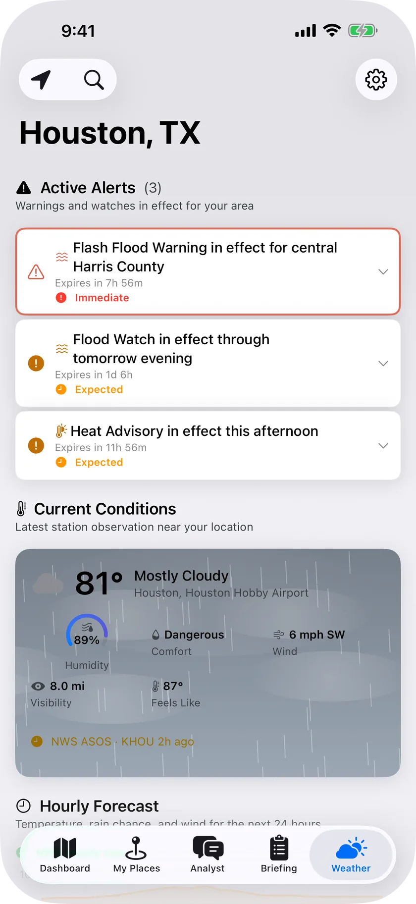
Alerts, air quality, hourly forecast: one screen -
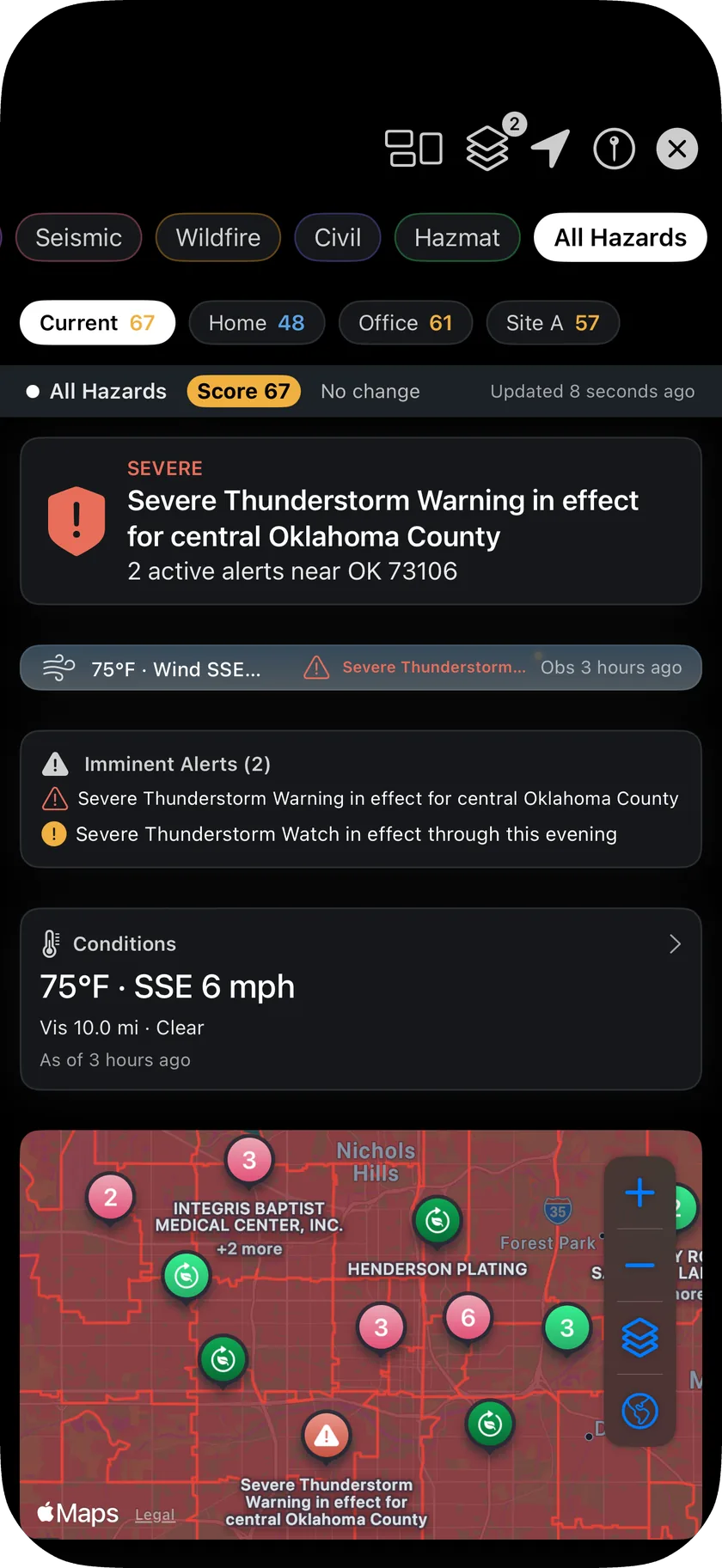
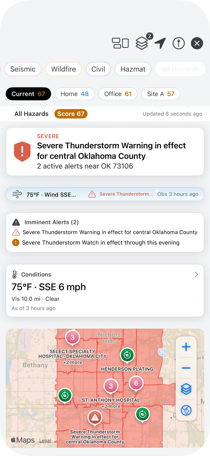
Storm coming? Every hazard on one live board -
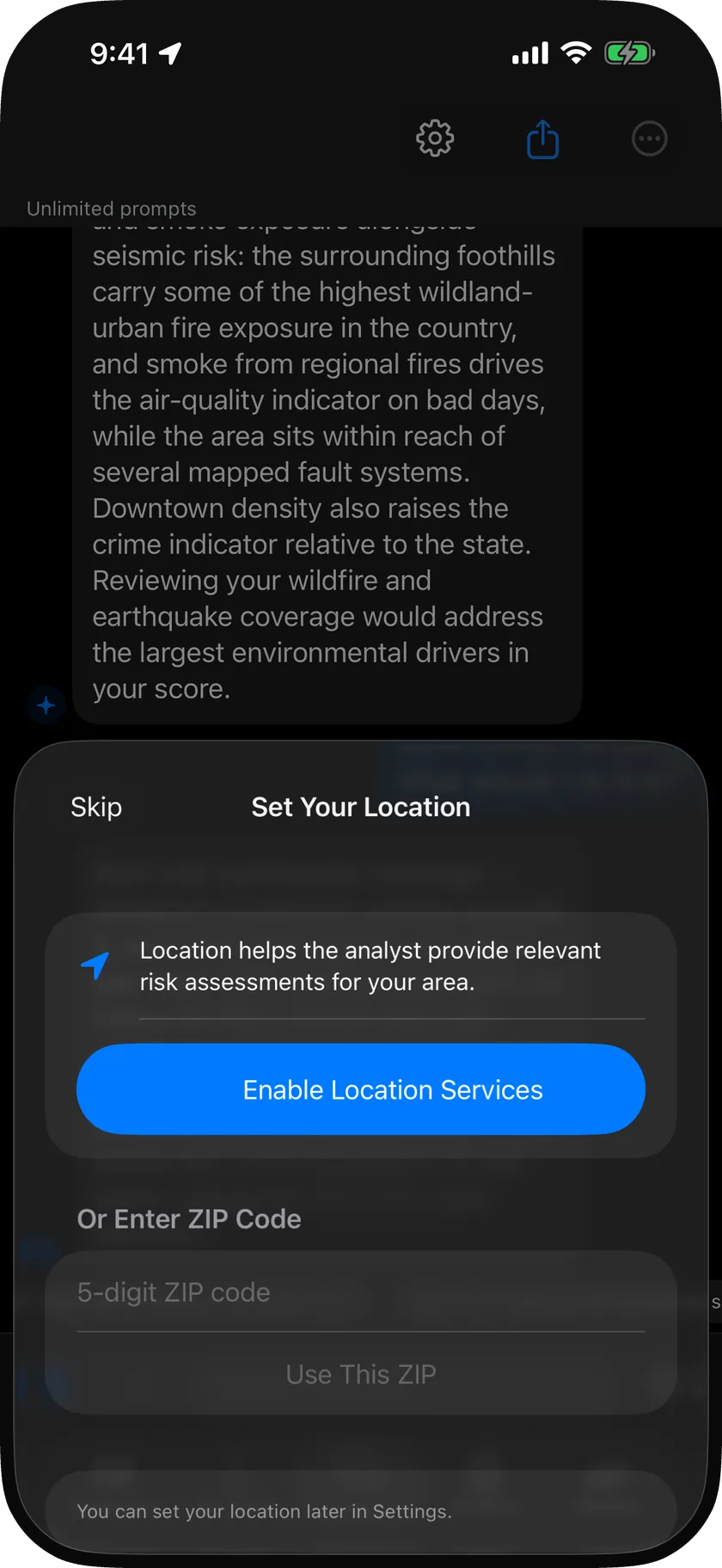
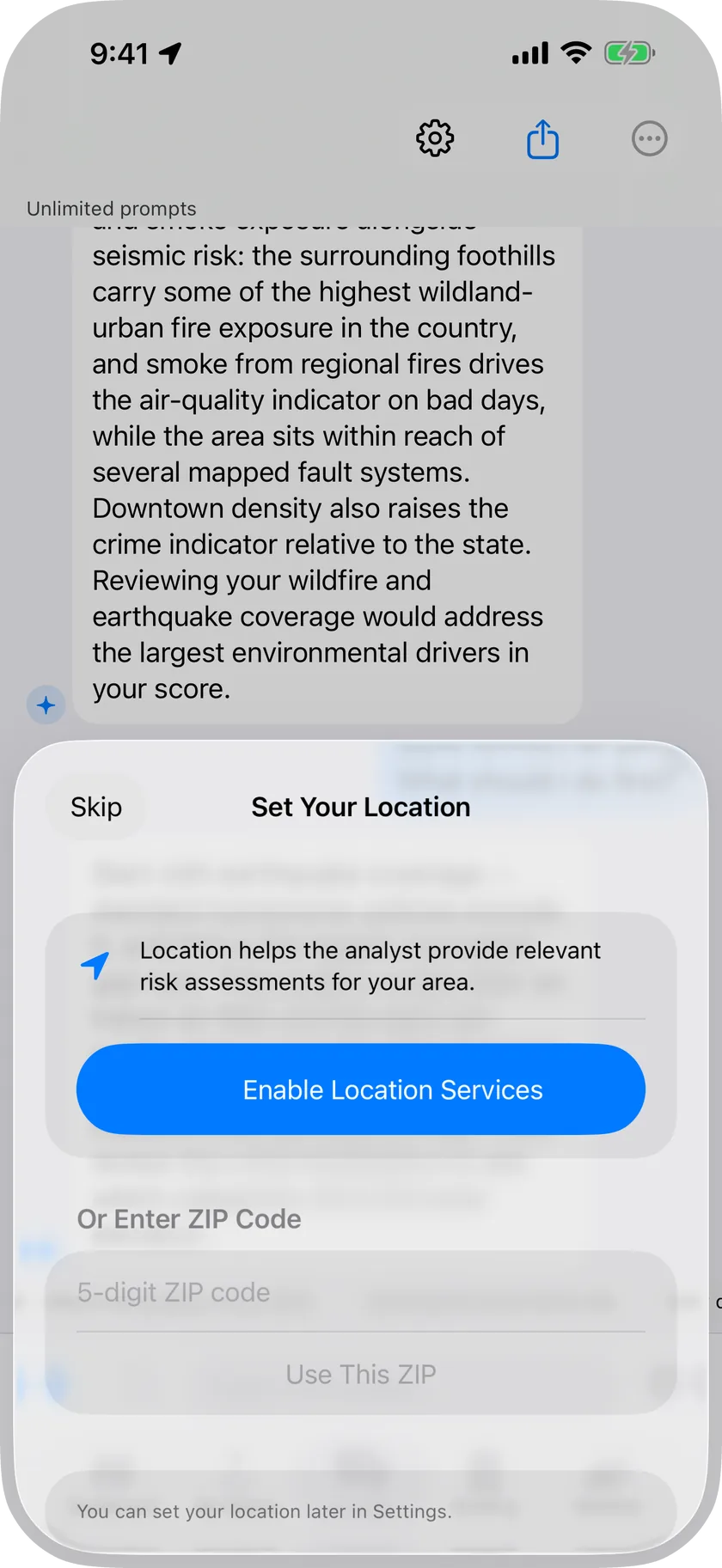
Ask anything; the answer stays on your phone
See it move
Three short clips: an address opened up hazard by hazard, radar dragged from the last half hour into the forecast, and two routes compared.
Watch your places. Plan the drive. Reach the ER.
Save home, work and the people you look after and see each one live. Compare two routes by what's along them. Call or drive to a verified emergency room in one tap.
-
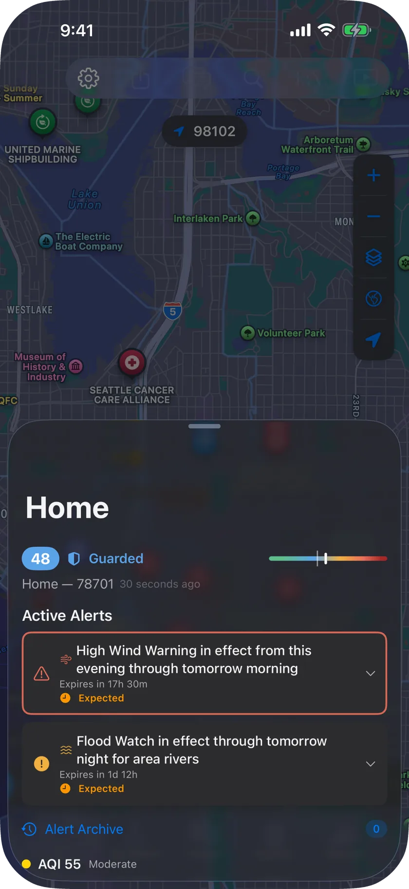
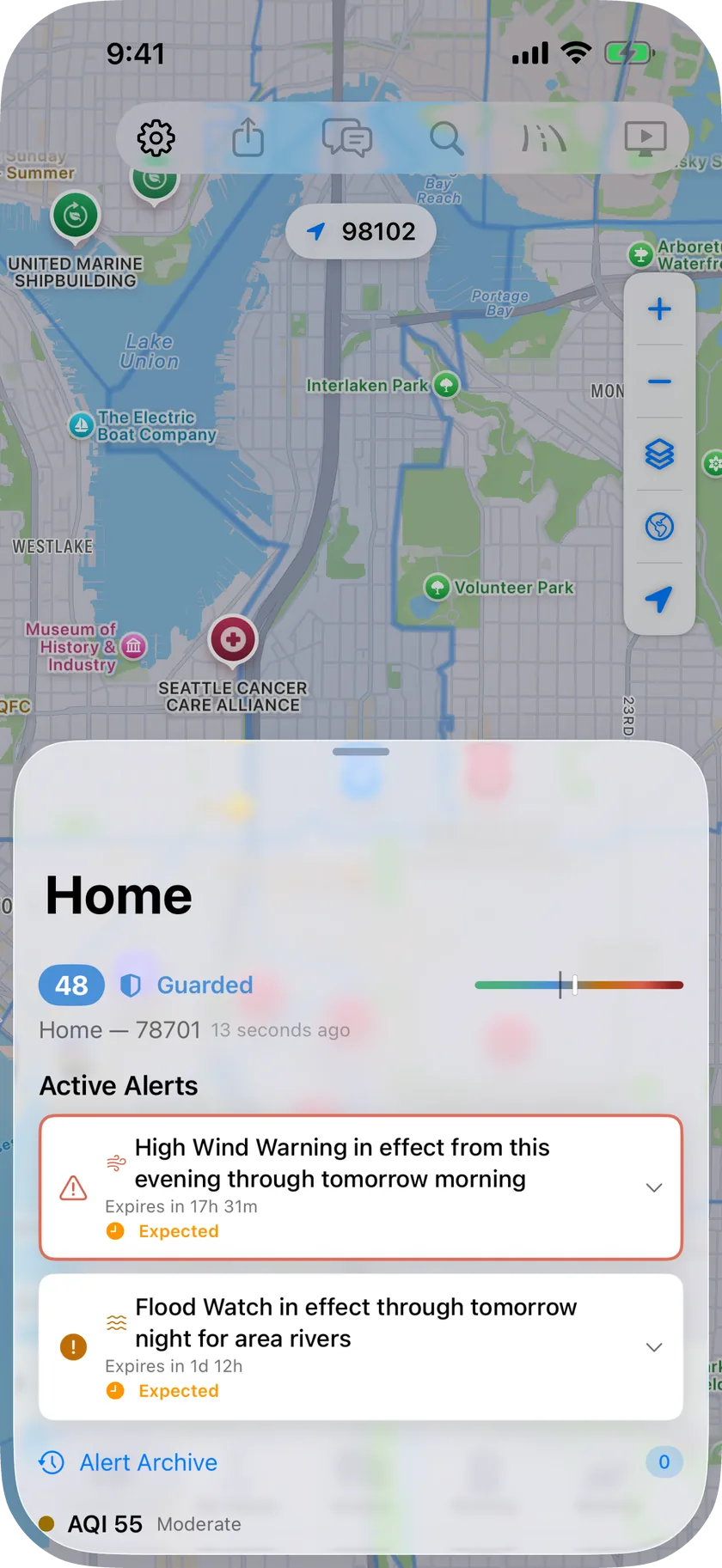
Home, work, family: every place watched, side by side -
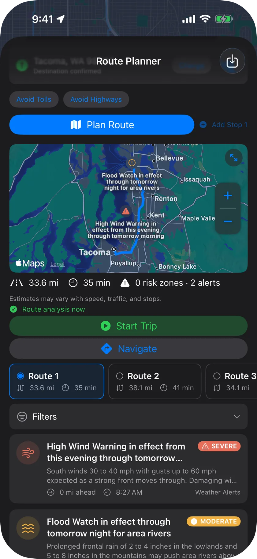
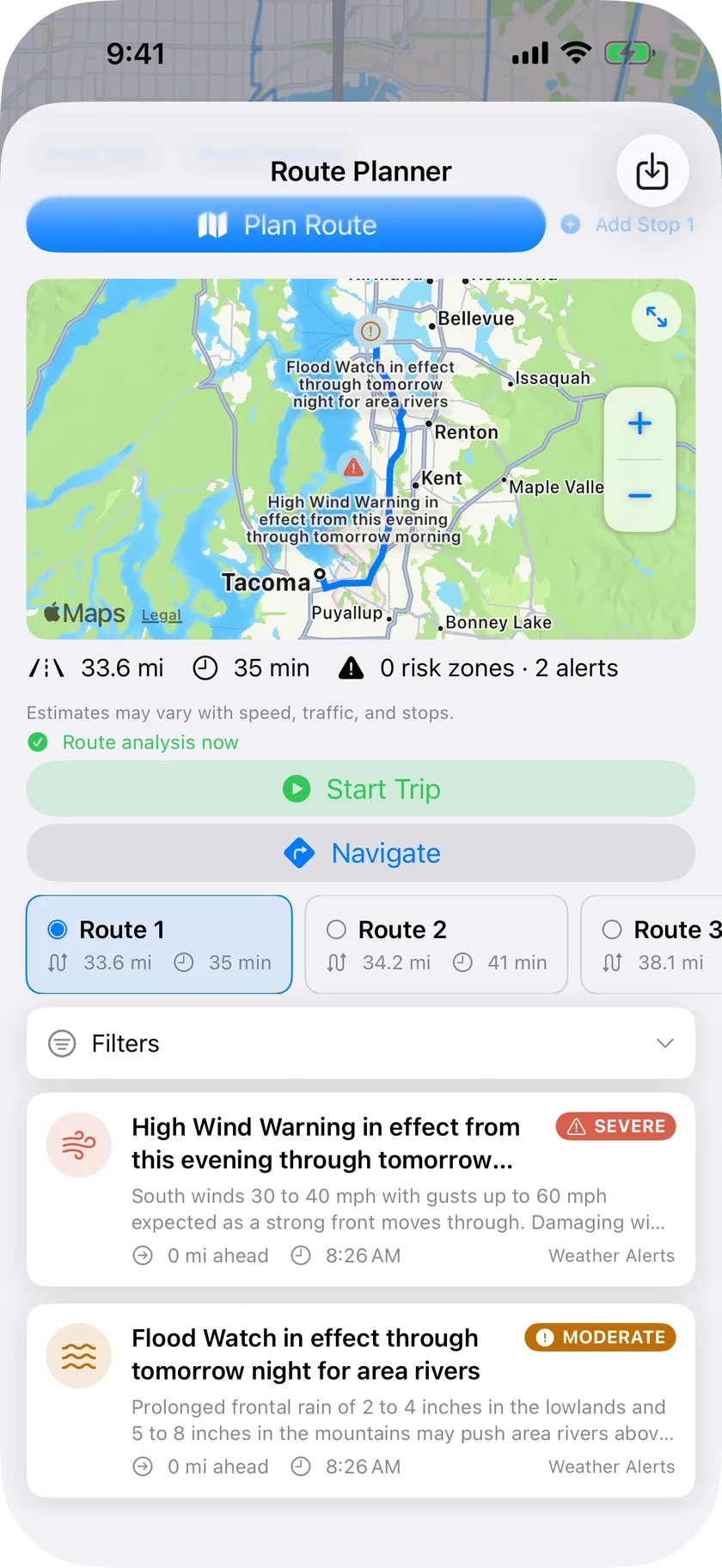
Which way today? Compare the hazards -
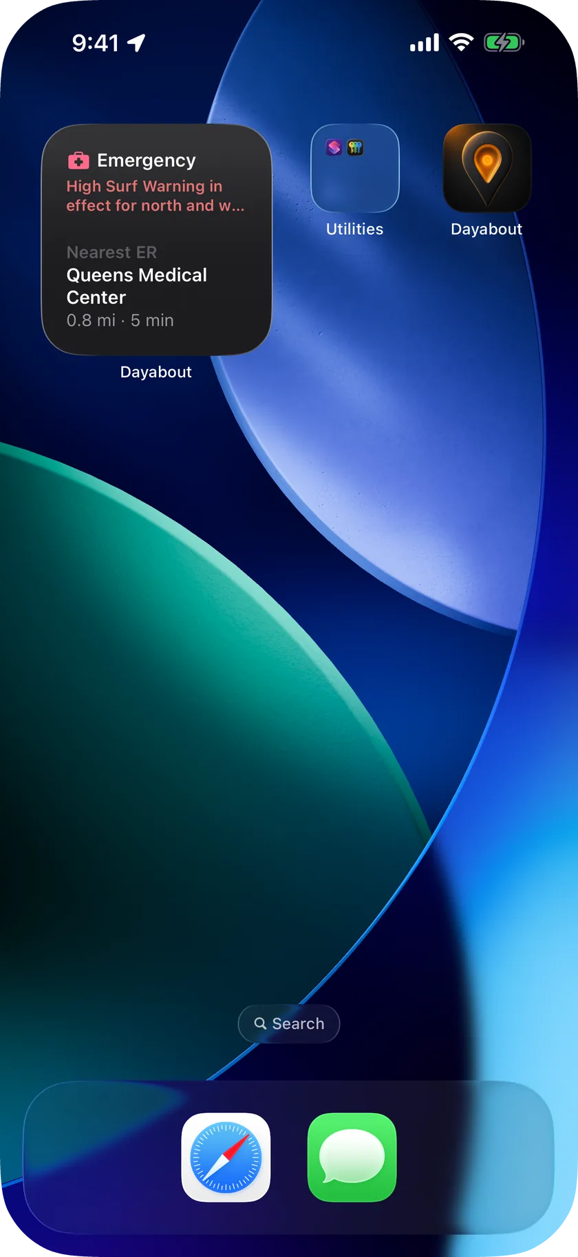
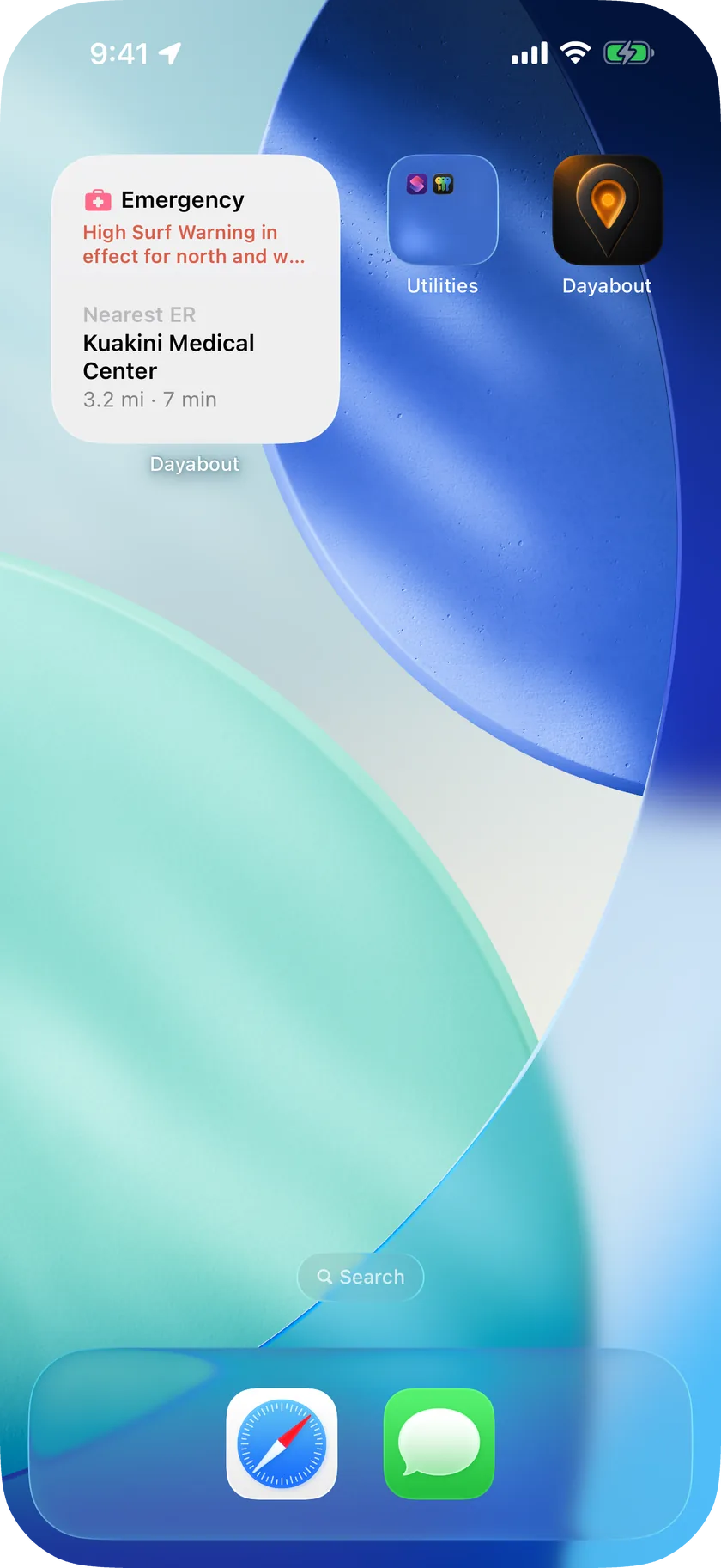
Emergency, large: verified ERs and shelters, one tap to call or go
What you'll check every day
Built for the quick look you already take several times a day.
Your morning briefing
What's coming today, which alerts are active and what to do about them, and what changed since you last looked.
Radar you can drag
Back through the last half hour, forward through the coming hours. Satellite, lightning, wind and temperature move the same way.
Alerts where your people are
Weather Service, IPAWS, USGS, tsunami, wildfire and river alerts for every place you save. You choose how severe before your phone buzzes. Dayabout adds to Wireless Emergency Alerts; it never replaces them.
Every place, side by side
Home, work, the kids, your parents. Live temperature, air quality, UV, alerts and the nearest ER for each. One place is free; add more with a subscription.
The nearest ER, one tap away
Verified emergency rooms with distance and, where we have it, drive time. Open shelters when there's an event. Call or get directions straight from the widget.
Safer roads
Compare two routes by the hazards and alerts along each, with the nearest ER on the way, and a Live Activity on your Lock Screen for the trip. Core+ and up.
In the car
On CarPlay, the dash shows the severe-alert status where you are, the next hazard on your route, and the nearest verified ER with one tap to directions.
The full story on any address
Crime, flood zones, wildfire, earthquake and more from public-agency data, scored so you can compare, with every source and date shown. Ask the on-device AI what it means.
One app instead of five
Weather
Weather Service conditions, hourly and 7-day forecasts, and alerts.
Radar
NEXRAD, satellite and lightning, with a timeline you drag.
Air quality
EPA AirNow AQI, UV and wildfire smoke.
Alerts
NWS, IPAWS, USGS, tsunami, wildfire and river gauges, for every place you save.
ER finder
Verified emergency rooms and open shelters. One tap to call or go.
Private by design
No Account Required
No account, registration, or sign-in. Open the app and start.
No Third-Party Tracking
No third-party analytics, advertising, or tracking SDKs. Ever.
Location Stays Yours
Your precise location is never sent to SentryVista or to any public-agency service. Only a coarse, area-level location (never your precise coordinates) reaches public agencies for live alerts; Apple's location and geocoding services handle your location under Apple's privacy policy.
Nothing between you and a warning
No ads and no interstitials. Alerts, widgets and notifications carry no upsell chrome.
Works offline, thinks on-device
The map, the address breakdown and the AI analyst work with no signal and never send your questions anywhere. Live layers refresh when you're back online.
Start free. Upgrade when you need more.
Free to start. Pay for more places, the full briefing, routes and reports.
Basic
$0
- Live alerts, radar & air quality
- Both widgets + one watched place
- Map with the headline risk read
- PDF report available for $2.99
Core
$9.99/mo
or $79.99/yr
- All risk categories & indicators
- Monitoring for 3 locations
- Unlimited on-device AI analyst
Core+
$19.99/mo
or $178.99/yr
- Everything in Core
- AI interpretation on every score
- History & trends + unlimited PDF export
- Route analysis, 10 locations & iCloud sync
Pro
$39.99/mo
$394.99/yr · $649.99 lifetime
- Everything in Core+
- Detailed mode & 40 monitored locations
- Markdown, CSV & JSON export
- Combinatorial routes & cascade analysis
Subscriptions are billed through your Apple ID and renew automatically until cancelled; manage or cancel anytime in your device Settings. See the Terms of Use for full details. Prices shown in USD; other currencies may vary.
Straight from the agencies that issue the warnings
Know what's around you before you go.
Free for iPhone and iPad on iOS 26. Works with CarPlay.